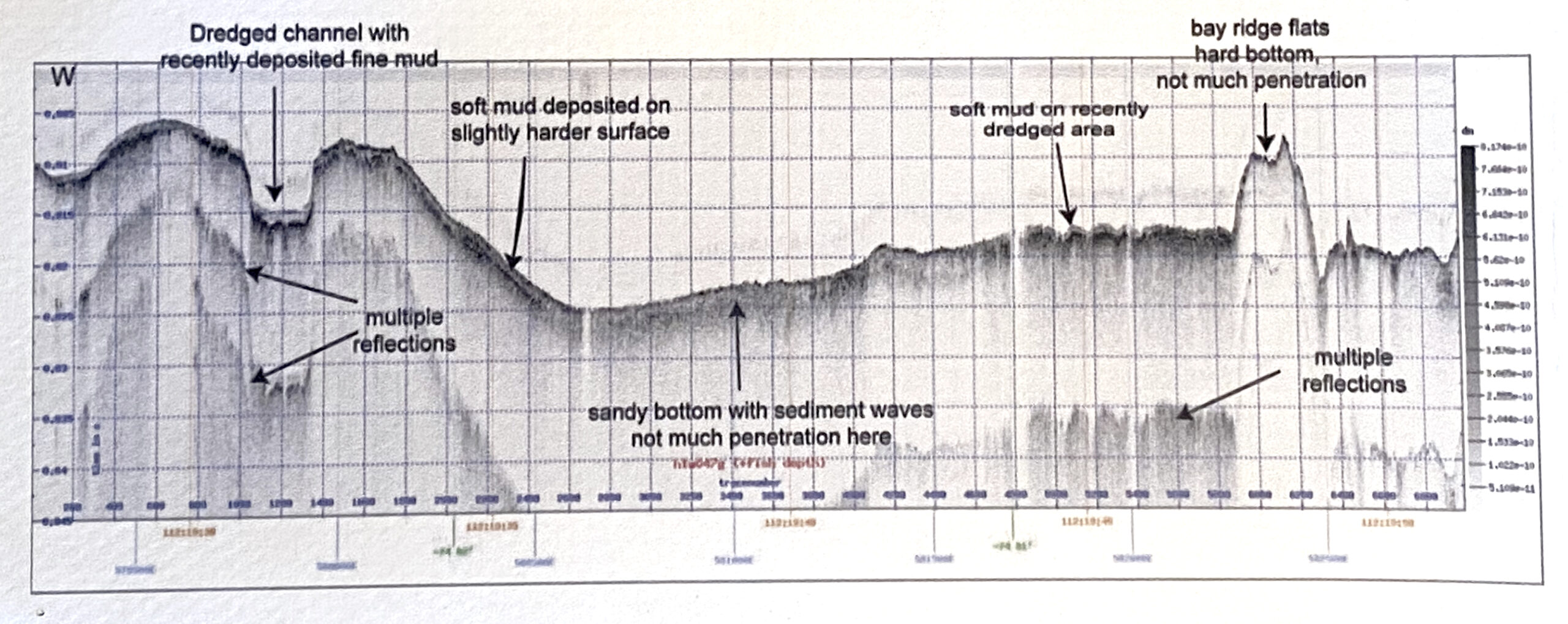
Exhibited in relative scale and respectively positioned from West to East, a seismic map of Upper NY Harbor was divided into three cross sections of subsurface layers forty-eight meters deep, and set into shape-shifting motion. With Acoustic Imaging we realize a subsurface and topography beneath moving waters and a glacial past; a particular profile of deep-time and spatial history comes to the surface via sent sound signals and data imaging. We become aware of the relationship sound has to image, water to sound, and with the sediments beneath. We also find that this mapped space is in fact a shifting topography beneath a river that runs in two directions, literally, and further as a collection of matter and data. As the alquonquans named the Hudson River, Muhheakantuck, meaning “great waters in constant motion” or “river that runs both ways.” Sub-bottom seismic image and data kindly provided by dr. frank o. nitsche, of the lamont doheny earth observatory at columbia university. Acoustic Imaging the Hudson was first shown as a video installtion in the Frying Pan Light Ship, hosted by the Electronic Music Foundation; and then at Loop Barcelona, curated by Babara Held.
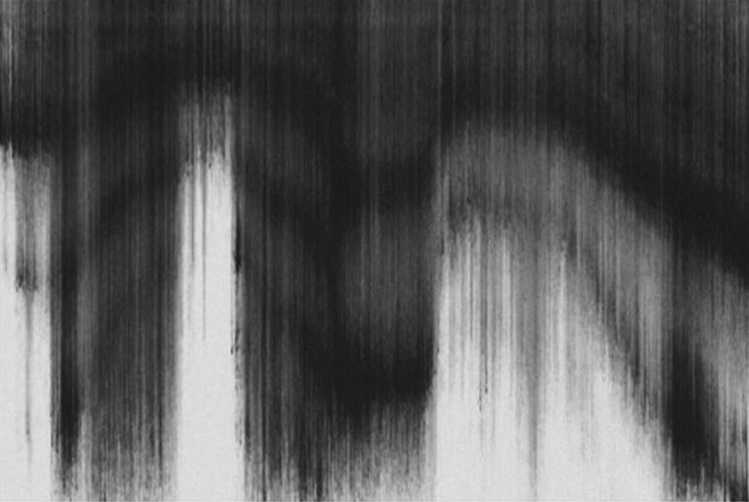
Video still of the first cross-section
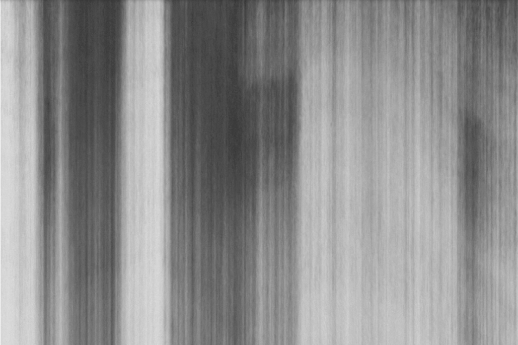
Video and sound excerpt
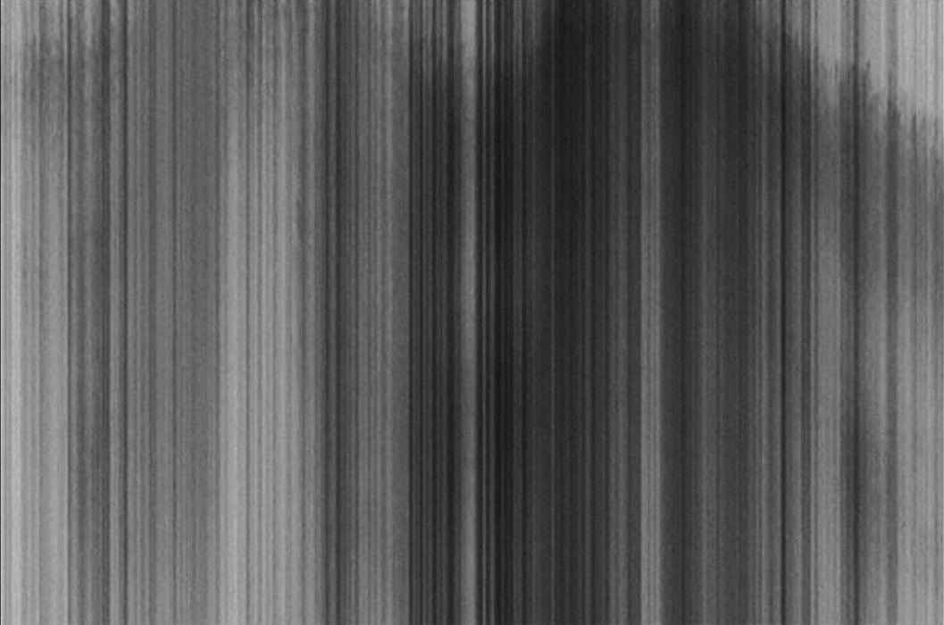
Video still of a transition between cross-sections


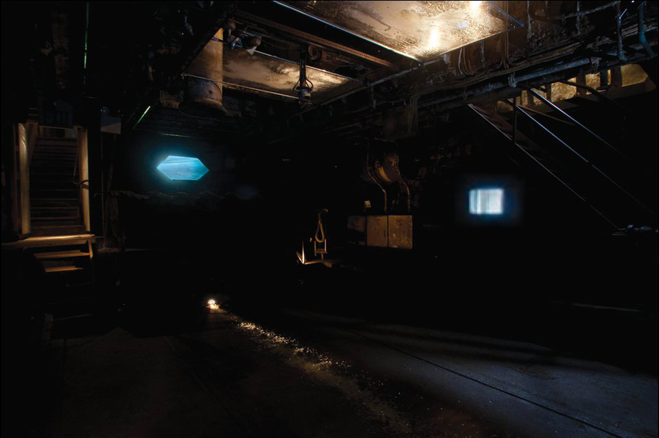
AI the Hudosn as part of the installation Underfoot in the Frying Pan; shown along with a salt water video.
Sub Bottom acoustic imaging profile, Upper New York Harbor. The visuals were created pulling the greyscale data points and animating using generative particle animations; numerical data from the same file informed the sound.